I haven’t paddled the South Platte since the last winter, so I decided to do some scouting around Greeley. There some changes … Riverside Park at Evans The park was rebuilt after flooding damages and reopened in October of 2018. […]
paddling with a camera
Posts Tagged ‘Platte’
Scouting the South Platte River near Greeley, Colorado
Foggy Morning on the South Platte River below Denver
Recently, I photographed several water diversion dams on the Poudre and South Platte Rivers. The most rewarding experience was a foggy morning on the South Platte just downstream of the 104th Street (Elaine T. Valente Open Space). See pictures below. […]
paddling with a camera
10 Winter Miles of Stand Up Paddling on South Platte River
January 3, 2016. First SUP paddle of the year with Rob Bean. We paddled 10 miles on the South Platte River from highway 58 to Kuner. Great weather, river flow ~900 cfs at Kersey, several bald eagles and hundreds of ducks. There are no portages on this river section since we started just below the Plumb Ditch Dam (the second diversion dam if you paddle from Evans).
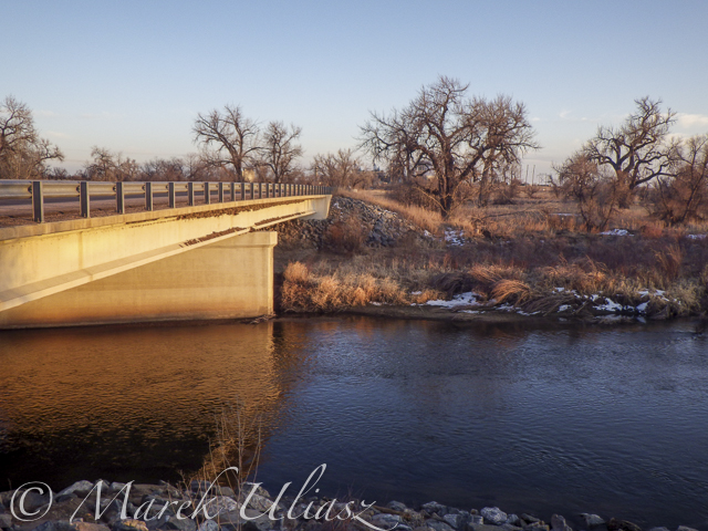
We started from a gravel bar under the new bridge on highway 58 – a right river shore with parking on a wide shoulder, a shorter, steeper route with barbed wire fence on the upstream bridge site. Downstream bridge site may be more convenient without the fence, but with a little longer walk. You can reach the bridge by turning into the new highway 49 at traffic lights from Colorado highway 34 between Evans and Kersey.
Rob posted his pictures on facebook. They actually show much better our launching site.
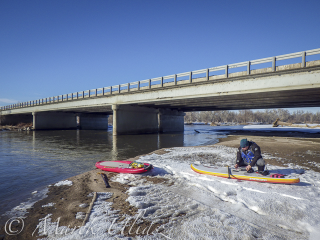
Start at gravel bar under the new highway 58 bridge
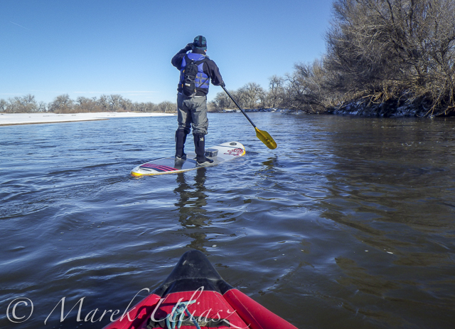
Somewhere on the river around Kersey
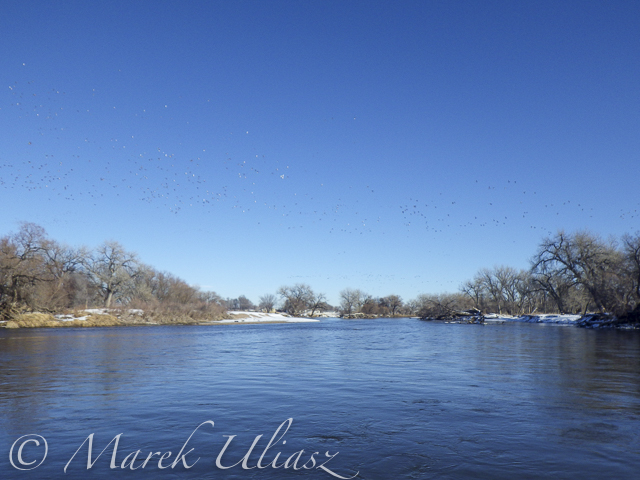
Ducks, ducks, and more ducks. Hundreds of them.
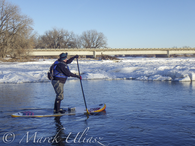
Finishing 10 mile trip at Kuner
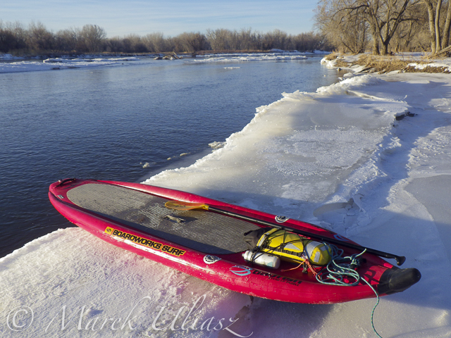
A little bit icy landing at Kuner (left shore upstream of the bridge)
South Platte River below Denver – river guide
Starting 2015/16 Winter Paddling Season on South Platte River
Paddling SUP on South Platte River from Kersey to Kuner
South Platte River from Wildcat to Evans by SUP
Starting 2015/16 Winter Paddling Season on South Platte River
We went to Masters and started to paddling upstream. However the dam just above Master bridge was closed and diverting water to Jackson Reservoir, so we paddled a couple miles downriver instead. Beautiful weather and a good flow of ~900cfs @ Weldona. Actually, I spent more time photographing than paddling.
I am hoping to do more paddling on different sections of the South Platte River during the incoming winter season and, finally, update my river guide. Would you like to join me? The South Platte with a typical winter flow is just a wading river and suitable for safe paddling with any boat – kayak, canoe or SUP. Well, a paddleboard would require some experience and a short fin due to possible shallows. I don’t think that you need to dress for immersion, but I always take extra clothes for change.
I am still sorting my blogs after migrating to a new server. If you encounter any problem or missing links please let me know.
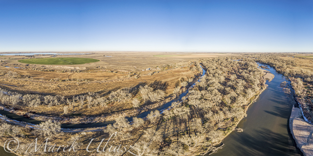
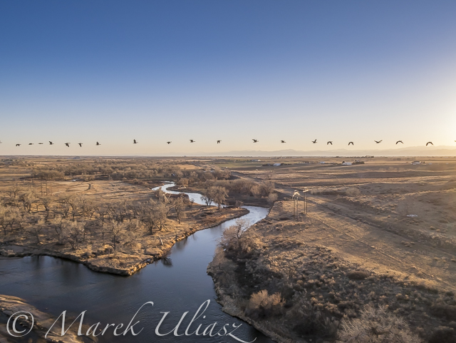
South Platte River in eastern Colorado below Masters with Jackson Reservoir ditch, looking downstream
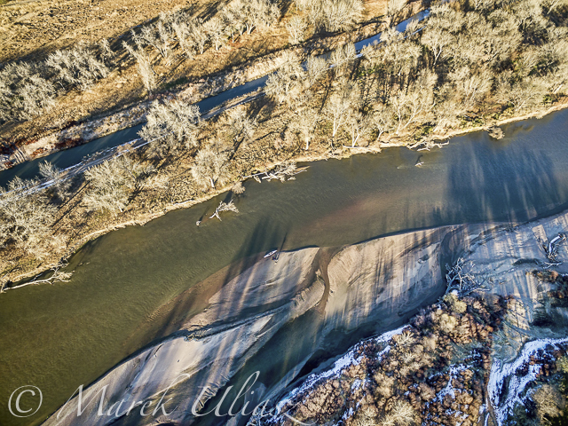
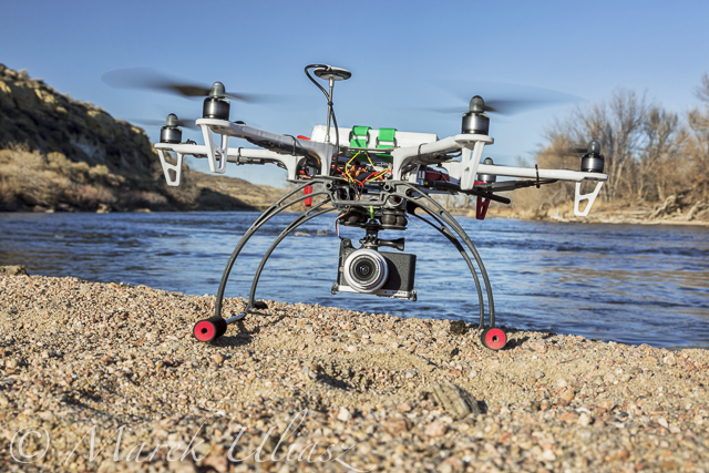
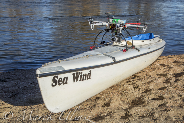
Looking down from Phantom 3 drone. Can you see the Sea Wind canoe, me and Pixel?
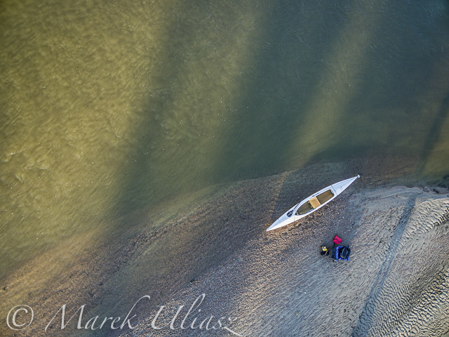
Let’s look a little closer
and, even closer
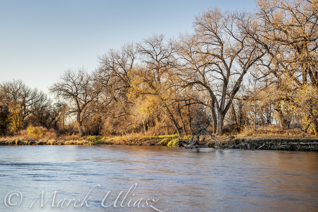
A typical fall or winter scenery on the South Platte lit by the low setting sun
South Platte River from Wildcat to Evans by SUP
River flow: St Vrain Cr at mouth 230 cfs, South Platte River at Fort Lupton ~350cfs. Water level on the South Platte was lower than during my last trip. Some of rocks near Wildcat Mound visible in my aerial photos were exposed. I used a short fin on my Badfish SUP and paddled without special problems, but Rob was forced to remove his regular fin in the last miles of paddling..
We finished our trip at highway 85 bridge at Evans about 1 mile upstream from the closed Riverside Park. I was describing this place in my previous posts: comfortable parking (limited to ~10 cars) at the end of frontage road, a pretty good river access under the bridge, but the place has a lot of “urban” character (graffiti, garbage, beer bottles).
Rob’s pictures from this paddling on facebook.
Wildcat – March 8, 2015. Access to the river from the county road 19.5 looks more or less the same as before flooding. River flow ~200cfs.
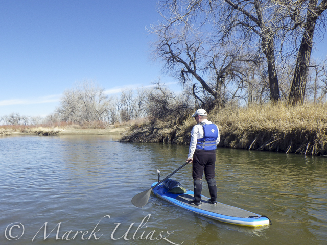
Rob is paddling on St Vrain Creek just above confluence with South Platte River
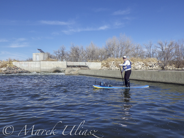
The first diversion dam above highway 60 bridge.
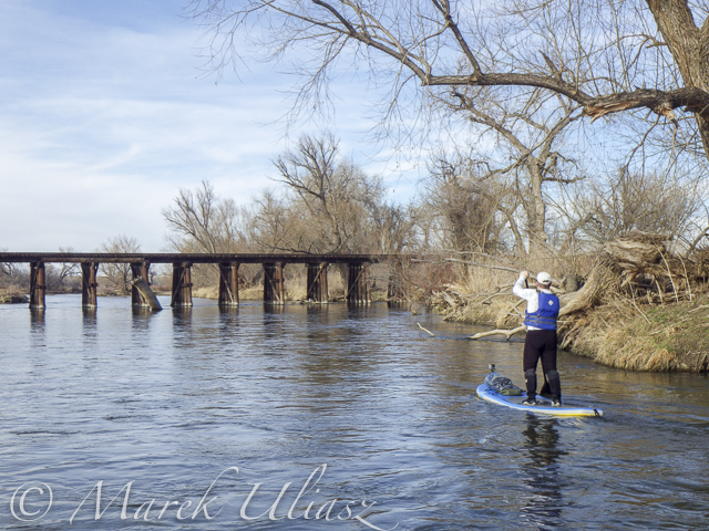
Railroad trestle below highway 60 bridge.
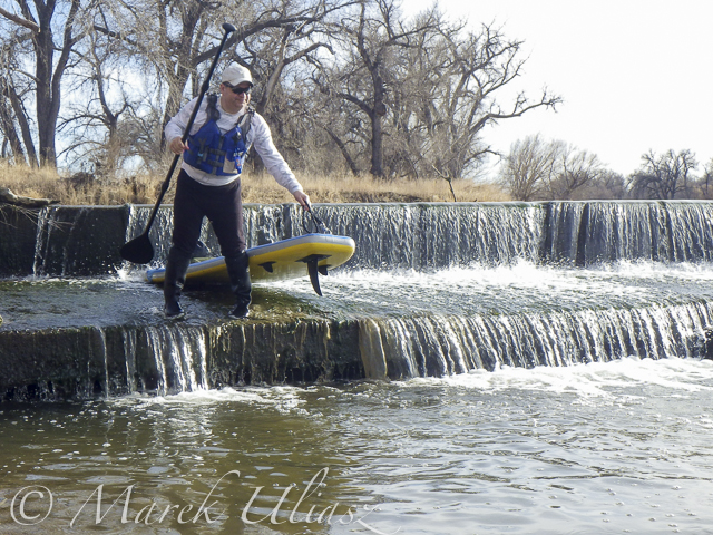
Portaging the 2nd dam. Water was low enough to just go over the dam.
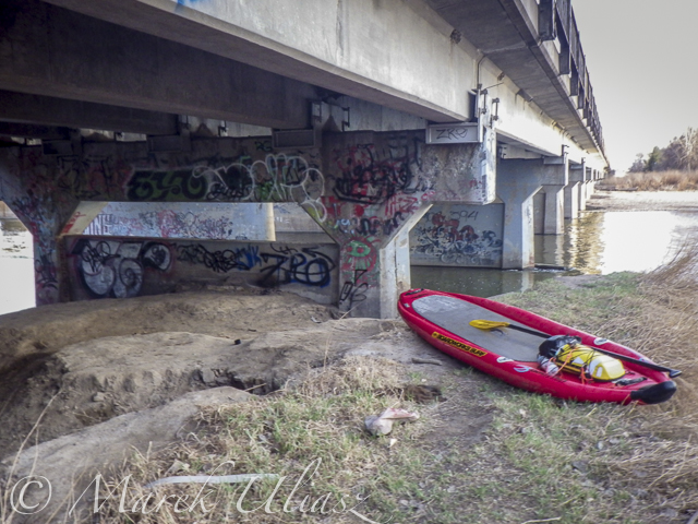
Landing at Evans under highway 85 bridge.
Related posts:
Exploring the Upper North Platte River in Colorado by SUP
Paddling SUP on South Platte River from Kersey to Kuner
South Platte River below Denver – GPS/photo river guide
Aerial View of South Platte River at Wildcat Mound below Platteville
A stretch of the South Platte River along Wildcat Mound below confluence with St Vrain Creek is my favorite river section for paddling. It can be accesswd from the county road 19.5 bridge on the St Vrain Creek (north of the power station). River access is relatively easy without a need to climb any fences. From here you have 1 mile of paddling to the confluence. This may be a start of a longer downriver trip or just downstream/upstream workout. The St Vrain current is pretty mild and you can easily paddle upstream. The South Platte is, in turn, much faster with some shallows and even little rock gardens (easy to navigate). It is more interesting for paddling downstream and more challenging for paddling upstream than the river section below Evans.
During my last trip (March 10, 2015) I shot some aerial pictures of the river at Wildcat Mound from a low flying drone. This place is about 1 mile below confluence. There is a shallow rapid just below the confluence. It gave a very good workout when I was paddling back upstream. River flow was ~120 cfs at St Vrain Cr and ~400cfs on South Platte at Ft Lupton (several diversion dams upstream).
For comparison you can check pictures from my packrafting trip in June, 2011. The 2013 flooding cleared all previous log jams on the St Vrain. You can still see these huge cottonwood trees in the water, but they do not block the river.
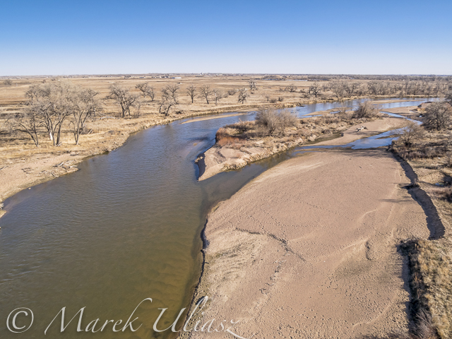
South Platte River at Wildcat Mound looking up stream
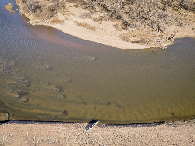
South Platte River with Sea Wind canoe
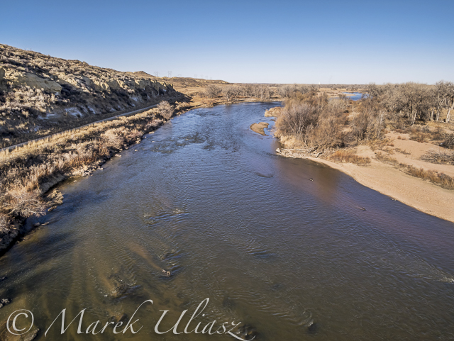
South Platte River at Wildcat Mound with a little rock garden looking down stream
Related posts:
Paddling SUP on South Platte River from Kersey to Kuner
Opening 2015 Paddling Season on the South Platte River
South Platte River below Denver – GPS/photo river guide
Paddling SUP on South Platte River from Kersey to Kuner
Rob’s pictures from this paddling on facebook.
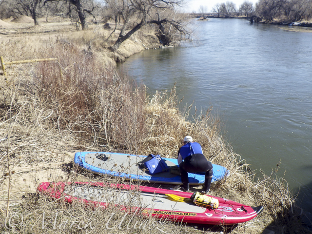
Launching our paddleboards below Kersey bridge next to water gauge station
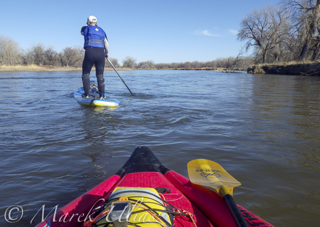
I paddled my Badfish SUP with a short fin and never touched the bottom. Rob paddled with a regular fin and had to step out of his board once or twice, but I believe it would be possible to avoid any shallows with a more careful navigation.
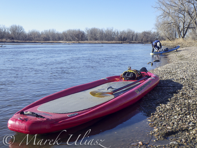
Finishing our run at Kuner on left shore above the bridge
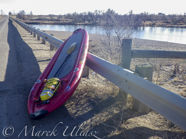
A typical bridge river access on the South Platte.
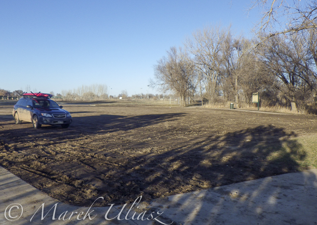
A part of Riverside Park at Evans reopened in September 2014 with entry from 42nd Street. There is access to a small lake, but no access to the river.
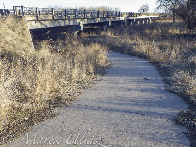
A bike trail going under hwy 85 bridge at Evans. Off road parking at the end of frontage road. The river access is not bad for the South Platte standards (no fences), but the under bridge scenery is pretty ugly.
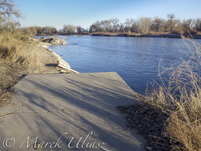
And, the bike trail ends just below the bridge. This is how probably the river shore looks further downstream at Riverside Park after the 2013 flooding.
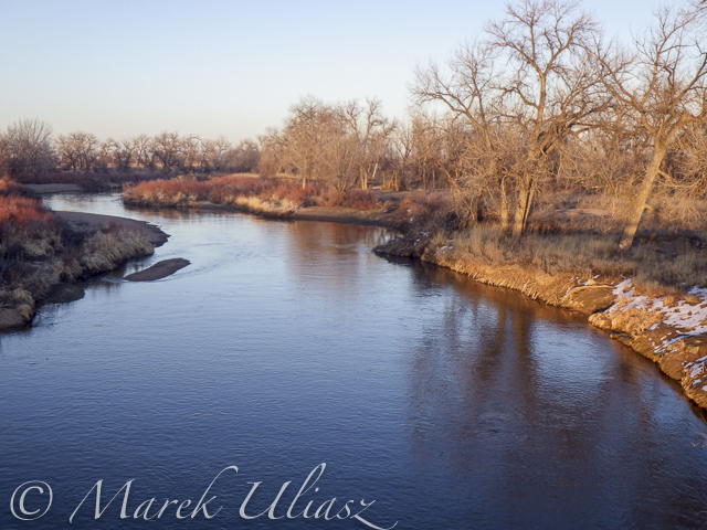
Let’s move 16 miles upstream: St Vrain Creek at Wildcat about 1 mile before the confluence with the South Platte.

Access to the river from the county road 19.5 (no fences) looks more or less the same as before flooding. River flow ~200cfs. I have started paddling trips here with flow as low as 90cfs.
Related posts:
Opening 2015 Paddling Season on the South Platte River
Scouting and Paddling the South Platte River after 2013 Flooding
South Platte River below Denver – GPS/photo river guide
Opening 2015 Paddling Season on the South Platte River
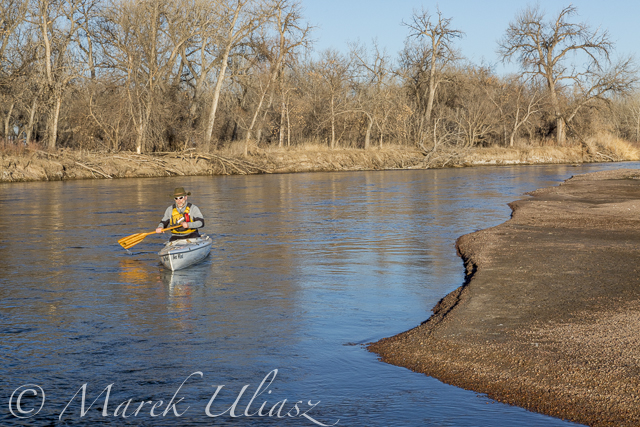
Paddling Sea Wind canoe upstream of the South Platte River above Masters
March 6, 2015. Finally, I started my 2015 paddling season on the South Platte River. I took Sea Wind canoe to Masters (about 28 miles east of Greeley on highway 34) and paddled 2.5 miles upstream and back: easy workout, a short photo session, watching bald eagles and deer.
Masters offers a typical bridge access to the river with a barbed wire fence and wide shoulder parking. It is similar to Kuner access, perhaps a little easier and shorter. There is a diversion dam just above the bridge. It was open and easy to paddle in both directions. Several diversion dams below Kuner can be open and runnable, at least in winter. River flow was much lower (~650cfs) than at Kersey (~1000cfs), but I still had plenty of water to paddle.
Riverside Park at Evans.The main park access from 37th Street remains closed, but the park was partially open in September 2014. Here is information from City of Evans webpage:
On September 13, 2013, Colorado experienced widespread flood destruction from what the media referred to as “biblical” rains. Riverside Park was completely destroyed in that flood.
One year after the flood, on September 13, 2014, the City was able to proudly open a section of the park accessible from 42nd Street. The 7-acre Riverside Lake was opened for fishing and a portion of the trail around the lake was opened as well.
It would be worth to check if there is an easy access to the river from the reopened part of the park. Last year, I was looking for an alternative river access at Evans. There is a possibility to launch boats under the highway 85 bridge (the end of the frontage road on left shore where a bike trail starts).
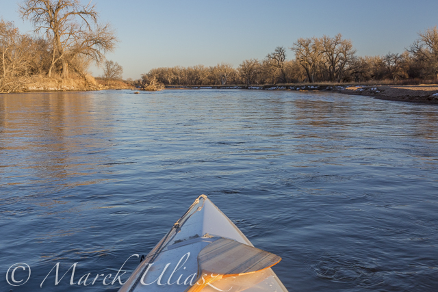
South Platte River 2 miles above Masters
Related posts:
Scouting and Paddling the South Platte River after 2013 Flooding
Opening 2014 Paddling Season on the South Platte River
South Platte River below Denver – GPS/photo river guide
Exploring the Upper North Platte River in Colorado by SUP
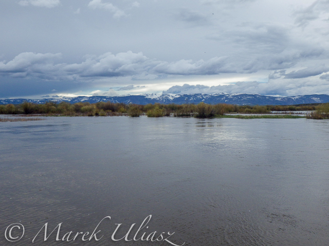
Confluence of two Grizzly Creeks 10 miles SW of Walden, CO – the beginning of the North Platte River
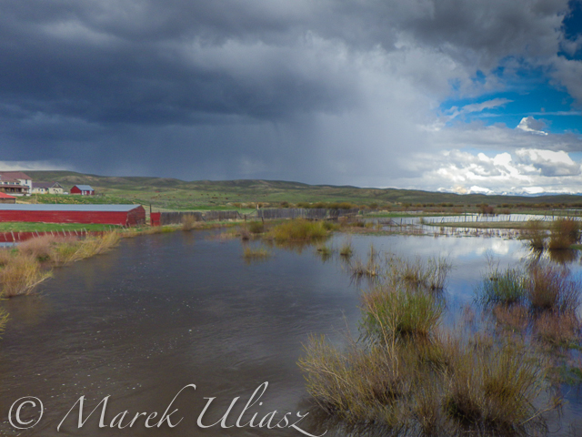
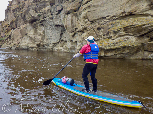
After some fall and winter scouting and a lot of time spent on Google maps, the exploration of the upper North Platte River finally took place during the Memorial Day weekend. Rob Bean joined me to paddle our inflatable Bordwarks SUPs: Shubu and Badfish.
Upper North Platte River on Google maps with some waypoints for access points and diversion dams.
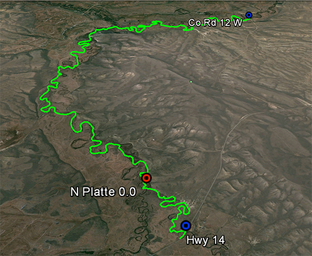
14 miles of the upper North Platte River near Walden with the river beginning
as a confluence of Grizzly Creek and Little Grizzly Creek
Put-in: Grizzly Creek at highway 14, 10 miles south of Walden (not much room for off road parking)
Take-off: Co road 12 W, 8 miles west of Walden (official fishing access, parking near bridge, another fishing access with parking ~0.5 mile below the bridge).
GPS milege: 13.8 miles, time: 2:50 hours.
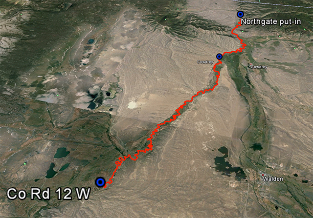
31 miles of the North Platte River from Walden to the Northgate Canyon put-in
Put-in: Co road 12 W
Take-off: put-in for the Northgate Canyon run, 9 miles north of Cowdrey
Alternative put-in for a short 6 miles run: Co Rd 6, 2 miles west of Cowdrey (that run is described in Paddling Colorado book by Dunbar Hardy).
GPS milege: 31 miles, time: 6:49 hours.
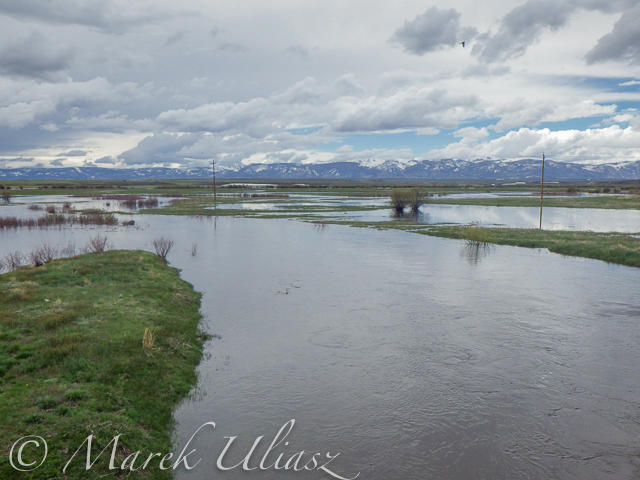
River flow was rising from 3000 to 4000 cfs at Northgate during our two days of paddling. A lot of meadows in the river valley were flooded. Paddling speed: up to 9 mph.
The weather was challenging. We had a lot of thunderstorms around us during the first day followed by ~8 hours of heavy rain. We were lucky to finished our paddling before the rain. A beautiful weather on second day lasted till noon, then we experienced a storm with a small hail followed by heavy rain for the rest of the day. Strong afternoon headwinds put us on our knees, especially, during the second day.
Obstacles: diversion dams, fences across the river, low bridges depending a water level. No trees. No rapids (except dams). The river is wide and open, so you can see or hear all incoming obstacles well in advance. We never run into any troubles.
Most of the dams can be seen on satellite pictures. The dam a few miles below Co road 12 W is pretty big and always requires portaging (not comfortable on right). Other dams are primitive rock dams and often can be run. We portaged most of them to avoid big waves, but I would run more of them in a canoe. We managed to paddle around a few of them. It is easier to select a correct river arm on a map than in practice on the river.
We had to portage numerous barbed wire fences crossing the river. Some were in water and could be safely run over in a canoe, but we played safe in out inflatable SUPs. A few fences had only a single wire across the river and was possible to paddle under them. Always watch for these fences! You can notice stronger and taller posts on the shores and, sometimes, stairs over them, before seeing the actual wires over the river.
One or two low farm bridges in the upper section required portaging. All bridges in the lower section have a high clearance.
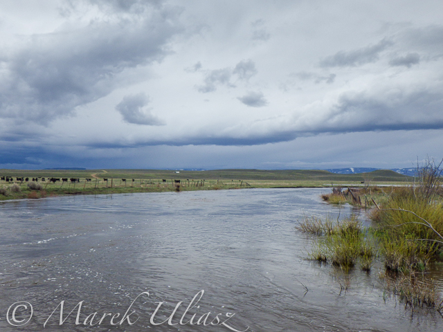
Wildlife: moose, bighorn, deer, elk (a herd was swimming across the river several times just in front of us), bald and gold eagles, pelicans, geese and other waterfowl, numerous smaller birds, curious cows.
Scenery: a wide valley surrounded by snowy mountains, crazy river meanders in the upper section, cliffs and rock outcroppings, just a few trees (often with eagle nest), higher hills with some forest in the lower section, a lot of water flowing around and flooding meadows, but, usually, not difficult to find a dry place to land.
Grizzly Creek looking upstream from highway 14
Grizzly Creek looking downstream from highway 14 – start of our adventure
North Platte River meandering near Walden
One of high cliffs
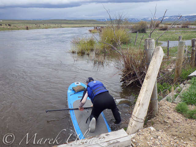
Going over a low farm bridge
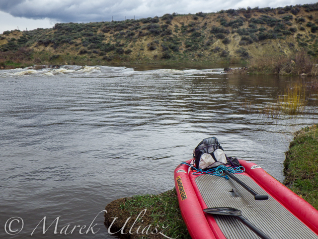
One of diversion dams
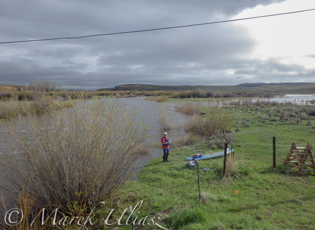
North Platte River at Co Rd 12 W near Walden – the finish of day 1 and the start of day 2
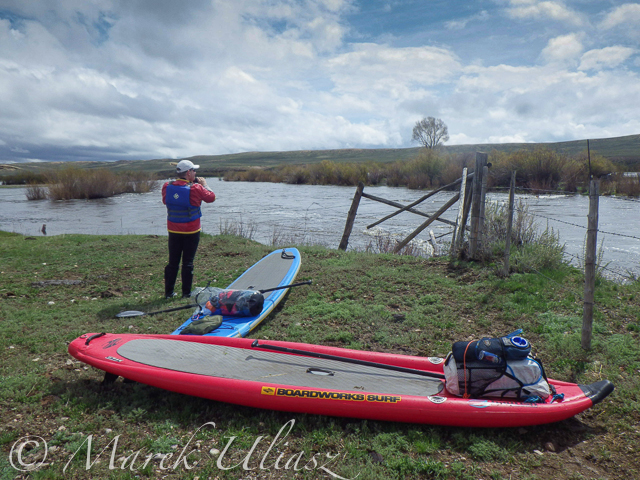
Barbed wire fence across the river
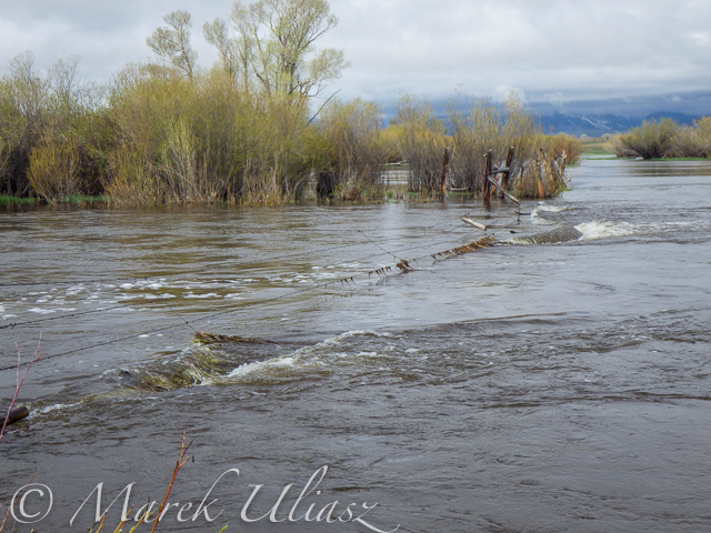
Another fence across the river
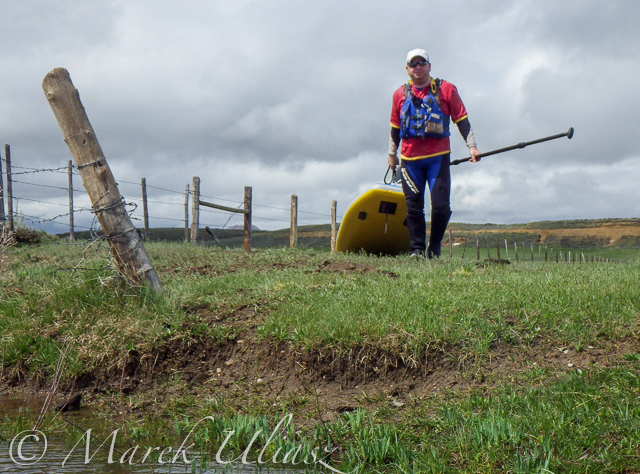
And another cattle fence to portage
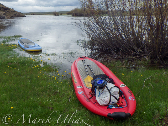
Lunch break – last minutes of nice weather
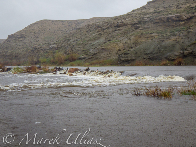
Hail storm over diversion dam
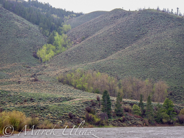
The last river section between Cowdrey and Northgate

Finishing in rain at the Northgate

The last look at the river – still raining
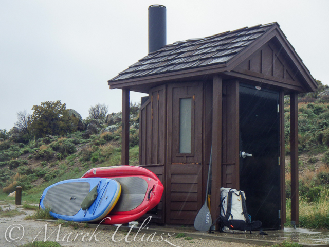
Ready to go home …
Your browser does not support iFrame.
Related posts:
– North Platte River in Colorado above Northgate Canyon
– Sun, Snow and Wind on the North Platte River in Wyoming
– Bennett Peak to Pick Bridge on the North Platte River, Wyoming
You must be logged in to post a comment.