RSS
 

Posts Tagged ‘South’

Paddling and Flying with Geese at St Vrain and South Platte Confluence

15 Mar
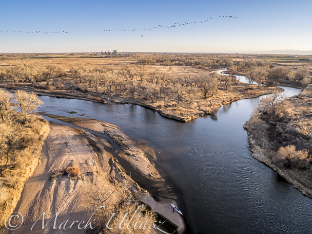
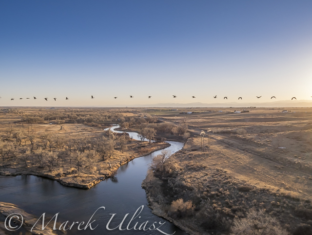
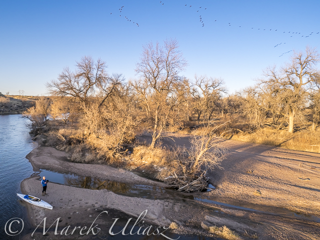
During my last paddling trip I made a stop to photograph the confluence of St Vrain Creek and South Platte River below Platteville. It was just before sunset. Hundreds of Canadian geese were passing by. I had my drone about 8 minutes in the air and some of flying geese were captured in my pictures.

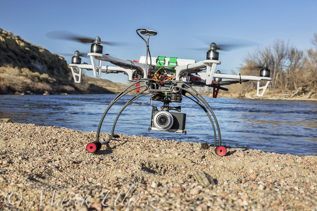
Pictures of my drone (DJI Flame Wheel F550 with Panasonic Lumix GM1 camera) were shot earlier during my first stop at Wildcat Mound about 1 mile below the confluence.

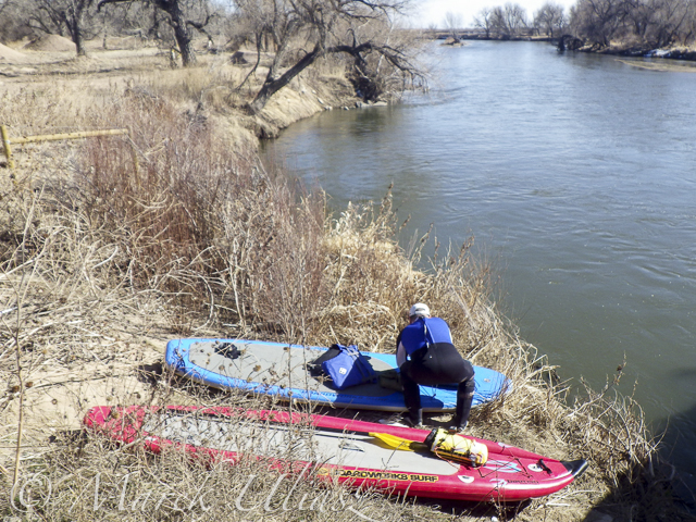
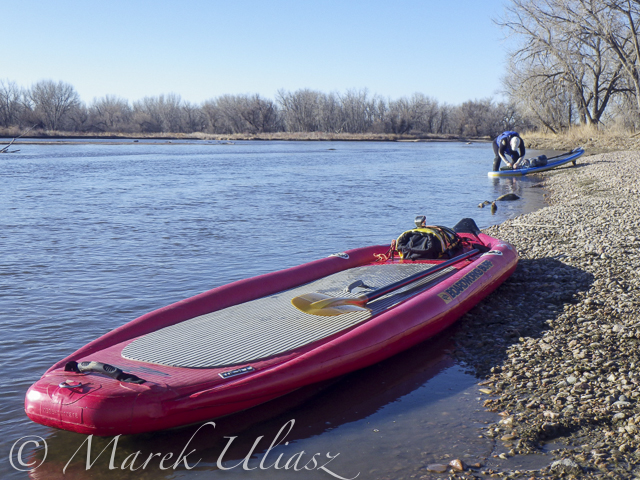
My next visit to this river section with be probably on SUP and without the drone. I paddle Badfish SUP with a short fin which is probably safer at some shallow and rocky spots below the confluence.

South Platte River and St Vrain

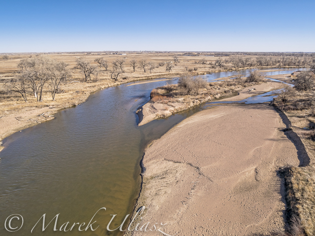
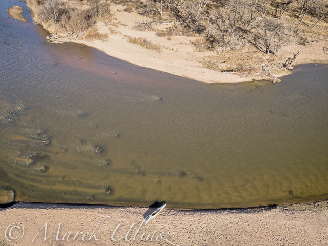
Aerial view of the South Platte River with Sea Wind canoe and a paddler/pilot.

South Platte River and St Vrain

Aerial view of South Platte River and St Vrain Creek confluence looking upstream, i.e., south

South Platte River and St Vrain

Aerial view of South Platte River and St Vrain Creek confluence

DJI Flame Wheel F550 drone

DJI Flame Wheel F550 drone with Panasonic Lumix GM1 camera on a sandbar

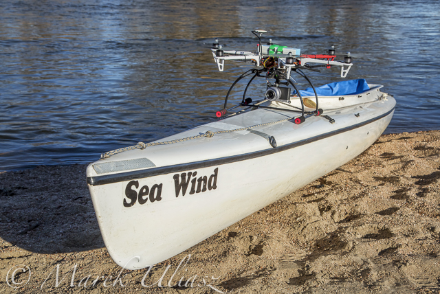
hexacopter drone with camera and canoe

Sea Wind canoe with DJI Flame Wheel F550 drone

I am adding the above pictures to Aerial Landscape gallery in my stock photography portfolio. They are available for license and immediate download as royalty free images.

Related posts:
Aerial View of South Platte River at Wildcat Mound below Platteville
Paddling SUP on South Platte River from Kersey to Kuner
South Platte River below Denver – GPS/photo river guide


paddling with a camera

 
Comments Off on Paddling and Flying with Geese at St Vrain and South Platte Confluence

Posted in Photography


Aerial View of South Platte River at Wildcat Mound below Platteville

12 Mar

A stretch of the South Platte River along Wildcat Mound below confluence with St Vrain Creek is my favorite river section for paddling. It can be accesswd from the county road 19.5 bridge on the St Vrain Creek (north of the power station). River access is relatively easy without a need to climb any fences. From here you have 1 mile of paddling to the confluence. This may be a start of a longer downriver trip or just downstream/upstream workout. The St Vrain current is pretty mild and you can easily paddle upstream. The South Platte is, in turn, much faster with some shallows and even little rock gardens (easy to navigate). It is more interesting for paddling downstream and more challenging for paddling upstream than the river section below Evans.

During my last trip (March 10, 2015) I shot some aerial pictures of the river at Wildcat Mound from a low flying drone. This place is about 1 mile below confluence. There is a shallow rapid just below the confluence. It gave a very good workout when I was paddling back upstream. River flow was ~120 cfs at St Vrain Cr and ~400cfs on South Platte at Ft Lupton (several diversion dams upstream).

For comparison you can check pictures from my packrafting trip in June, 2011. The 2013 flooding cleared all previous log jams on the St Vrain. You can still see these huge cottonwood trees in the water, but they do not block the river.

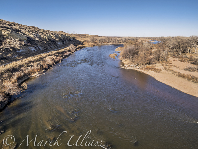
South Platte River aerial view

South Platte River at Wildcat Mound looking up stream

South Platte River aerial view

South Platte River with Sea Wind canoe

South Platte River aerial view

South Platte River at Wildcat Mound with a little rock garden looking down stream

Related posts:
Paddling SUP on South Platte River from Kersey to Kuner
Opening 2015 Paddling Season on the South Platte River
South Platte River below Denver – GPS/photo river guide


paddling with a camera

 
Comments Off on Aerial View of South Platte River at Wildcat Mound below Platteville

Posted in Photography


Paddling SUP on South Platte River from Kersey to Kuner

10 Mar
March 8, 2015. A short, 7 mile, stand up paddling (SUP) trip on the South Platte River from Kersey to Kuner with Rob Bean and a company of goose, deer, and bald eagles. It was easy paddling with a good flow of 1100 cfs and beautiful warm weather. After, paddling I did some river scouting around Evans Riverside Park and further upstream.

Rob’s pictures from this paddling on facebook.

paddling SUP on South Platte River

Launching our paddleboards below Kersey bridge next to water gauge station

paddling SUP on South Platte River

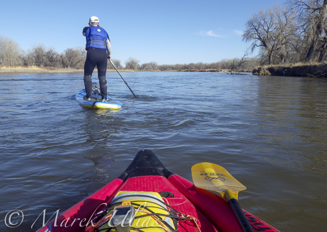
I paddled my Badfish SUP with a short fin and never touched the bottom. Rob paddled with a regular fin and had to step out of his board once or twice, but I believe it would be possible to avoid any shallows with a more careful navigation.

paddling SUP on South Platte River

Finishing our run at Kuner on left shore above the bridge

paddling SUP on South Platte River

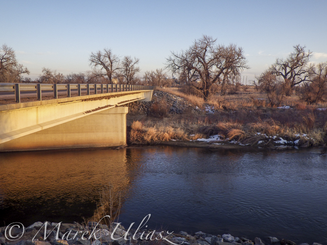
A typical bridge river access on the South Platte.

A part of Riverside Park at Evans reopened in September 2014 with entry from 42nd Street.  There is access to a small lake, but no access to the river.

A part of Riverside Park at Evans reopened in September 2014 with entry from 42nd Street. There is access to a small lake, but no access to the river.

Evans river access

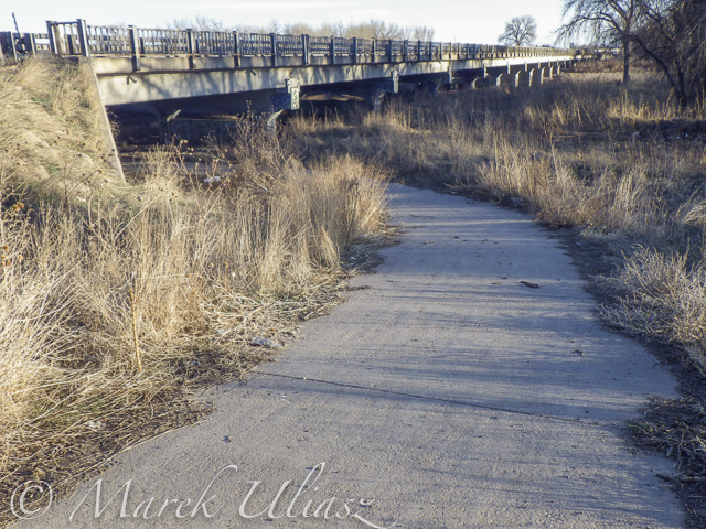
A bike trail going under hwy 85 bridge at Evans. Off road parking at the end of frontage road. The river access is not bad for the South Platte standards (no fences), but the under bridge scenery is pretty ugly.

Bike trail destroyed by South Platte River flooding

And, the bike trail ends just below the bridge. This is how probably the river shore looks further downstream at Riverside Park after the 2013 flooding.

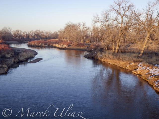
St Vrain Creek above  confluence with the South Platte River.

Let’s move 16 miles upstream: St Vrain Creek at Wildcat about 1 mile before the confluence with the South Platte.

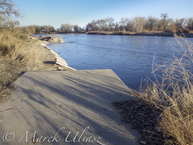
Access to the river from the county road 19.5 looks more or less the same as before flooding. River flow ~200cfs. I started paddling trips here with flow as low as 90cfs.

Access to the river from the county road 19.5 (no fences) looks more or less the same as before flooding. River flow ~200cfs. I have started paddling trips here with flow as low as 90cfs.

Related posts:
Opening 2015 Paddling Season on the South Platte River
Scouting and Paddling the South Platte River after 2013 Flooding
South Platte River below Denver – GPS/photo river guide


paddling with a camera

 
Comments Off on Paddling SUP on South Platte River from Kersey to Kuner

Posted in Photography


Opening 2015 Paddling Season on the South Platte River

08 Mar
winter paddling on South Platte River

Paddling Sea Wind canoe upstream of the South Platte River above Masters

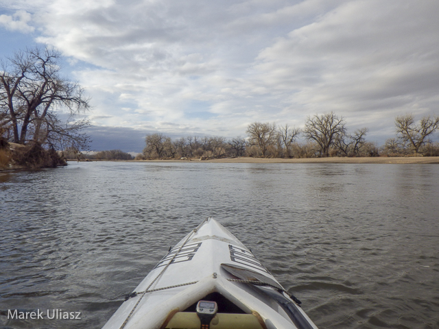
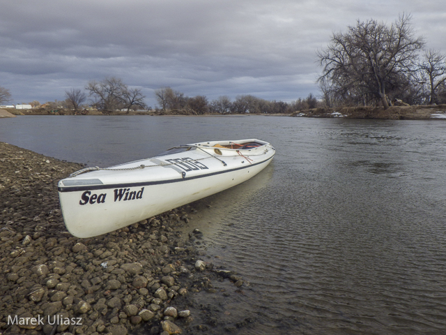
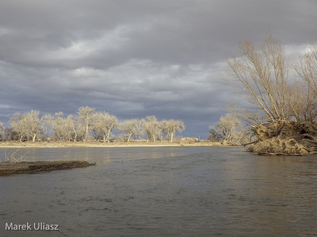
March 6, 2015. Finally, I started my 2015 paddling season on the South Platte River. I took Sea Wind canoe to Masters (about 28 miles east of Greeley on highway 34) and paddled 2.5 miles upstream and back: easy workout, a short photo session, watching bald eagles and deer.

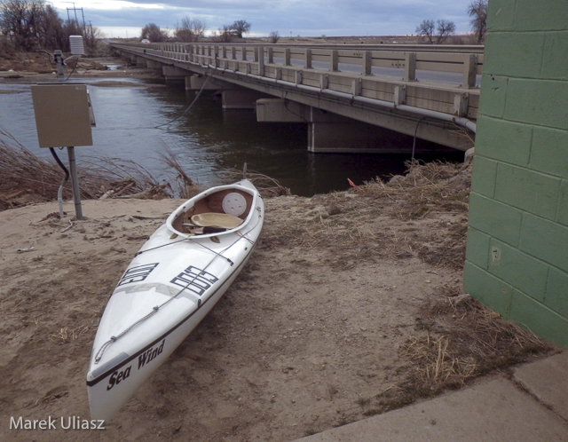
Masters offers a typical bridge access to the river with a barbed wire fence and wide shoulder parking. It is similar to Kuner access, perhaps a little easier and shorter. There is a diversion dam just above the bridge. It was open and easy to paddle in both directions. Several diversion dams below Kuner can be open and runnable, at least in winter. River flow was much lower (~650cfs) than at Kersey (~1000cfs), but I still had plenty of water to paddle.

Riverside Park at Evans.The main park access from 37th Street remains closed, but the park was partially open in September 2014. Here is information from City of Evans webpage:

On September 13, 2013, Colorado experienced widespread flood destruction from what the media referred to as “biblical” rains. Riverside Park was completely destroyed in that flood.
One year after the flood, on September 13, 2014, the City was able to proudly open a section of the park accessible from 42nd Street. The 7-acre Riverside Lake was opened for fishing and a portion of the trail around the lake was opened as well.

It would be worth to check if there is an easy access to the river from the reopened part of the park. Last year, I was looking for an alternative river access at Evans. There is a possibility to launch boats under the highway 85 bridge (the end of the frontage road on left shore where a bike trail starts).

South Platte River 2 miles above Masters

South Platte River 2 miles above Masters

Related posts:
Scouting and Paddling the South Platte River after 2013 Flooding
Opening 2014 Paddling Season on the South Platte River
South Platte River below Denver – GPS/photo river guide


paddling with a camera

 
Comments Off on Opening 2015 Paddling Season on the South Platte River

Posted in Photography


Cultural Center Carved Out of 42 Grain Silos in South Africa

13 Mar

[ By WebUrbanist in Architecture & Public & Institutional. ]

grain silo mega atrium

An amazing hybrid of preservation and transformation, this project involves carving a series stunning spaces inside a huge series of concrete silos set alongside the waterfront of Cape Town. Once the tallest structure in the city, but abandoned since 1990, this converted complex will provide a home for 80 art galleries and create a hub for cultural activity.

grain silos close up

The spatial solution proposed by Thomas Heatherwick Studio involves scooping out huge voids within the existing industrial heritage site. This approach in turn exposes visitors to the tubular interiors of the silos via a newly-formed atrium while conserving much of the original building exterior. Meanwhile, below the surface, a series of re-purposed underground tunnels and storage spaces will provide additional access to the architectural history of the complex.

grain silo atrium zoom copy

The non-profit endeavor will exhibit contemporary African art via indoor galleries as well as a rooftop sculpture garden, bookstore, restaurant, bar and more. THS will be working on the Zeitz MoCAA (founded with the collection of entrepreneur Jochen Zeitz) with a series of local partners including Ven Der Merwe Miszewski (VDMMA), Rick Brown Associates (RBA) and Jacobs Parker.

grain silos at night

grain silo interior space

In an interview with DesignBoom, he architect sough to ask and answer the critical quesiton: “How do you turn forty-two vertical concrete tubes into a place to experience contemporary culture? Our thoughts wrestled with the extraordinary physical facts of the building. There is no large open space within the densely packed tubes and it is not possible to experience these volumes from inside. Rather than strip out the evidence of the building’s industrial heritage, we wanted to find a way to enjoy and celebrate it. We could either fight a building made of concrete tubes or enjoy its tube-iness.”

grain silos building section

grain silo section zoom

Of the project, David Green (CEO of the V&A Waterfront) said: “thomas heatherwick understood how to interpret the industrial narrative of the building, and this was the major breakthrough. His design respects the heritage of the building while bringing iconic design and purpose to the building.”

grain silos south africa

grain silo slice closeup

Regarding the search for a perfect site, Jochen Zeitz explains that “for five years we investigated suitable sites across Africa. The V&A waterfront provided an iconic heritage building, situated in one of the most visited and iconic sites in [the country].” Meanwhile, all of the existing silos will be capped with glass to let in light and show off their shape from above.

Share on Facebook


[ By WebUrbanist in Architecture & Public & Institutional. ]

[ WebUrbanist | Archives | Galleries | Privacy | TOS ]


WebUrbanist
 
Comments Off on Cultural Center Carved Out of 42 Grain Silos in South Africa

Posted in Creativity


Confluence of Wildlife and Man – A Story from the South Platte River

23 Feb

I was looking at paintings by Nancy Rynes, a Colorado artist. I like her texture series and, especially, the picture called “Confluence”. Two red hawks sitting on a wall covered by graffiti. For me the confluence means here the coming together of wildlife and man made objects. It reminds me an old story from the South Platte River paddling – encounter of a young eagle sitting on old trashed car.

I really hated those cars from 1950s and 1960s when I started to paddle the South Platte River years ago. Then, having no choice, I accepted them and started to photograph them. At least they were put into the river for a reason – to protect river banks. It seems that wildlife is accepting them too.

Car Photography Session on the South Platte River
South Platte River – Another View or How to Photograph the River?

Here is my eagle story originally posted in 2007.

October 15 was my first day on the South Platte River in the fall/winter paddling season of 2007. I paddled upstream from Kersey in the Thunderbolt kayak. After exploring the Lone Tree Creek I paddled back down river to Kersey. It was just before sunset when I decided to shoot some pictures of old cars dumped there to protect river banks.

I squeezed my kayak into some standing backwater and started shooting. I didn’t notice anything unusual, but I did sense somebody’s presence …


bald eagle South Platte River

eaglet bald eagle south platte river kayak Colorado

Not farther from me than a length of my kayak there was an old truck and a young eagle was sitting on the top of it. I kept shooting my pictures. However, looking at a beak and powerful talons, I didn’t feel very comfortable balancing my tippy kayak in the front of that chick. Judging from the time stamps in my pictures I spent 12 minutes there. During that time the eaglet did not make the slightest movement.

I wished I had a better camera than my Pentax Optio W10. It was getting dark, so I backed up leaving the eagle on his truck.

I have seen adult bald eagles many times during my paddling on the South Platte, but it was the closest and most exciting encounter. As a first guess I assumed that I saw a juvenile bald eagle. After searching internet it seems that it is quite difficult to distinguish between immature bald and golden eagles. Some comments I got indicate that it was the golden eagle. So, who is that chick?

Breeding Bald Eagles in Colorado

… from the Center for Biological Diversity:

Bald eagles commonly nested in and around Rocky Mountain National Park as late as the 1950s (117). By 1974, just one pair remained in the state (93). The population remained perilously low through the 1970s and 1980s, began growing in 1986 and reached a peak of approximately 65 pairs in 2006 (2, 69, 93, 96). One-third of Colorado’s nesting bald eagles occur east of the Continental Divide in the South Platte River watershed (115). Other breeding concentrations include the Yampa River upstream of Craig, the White River in the vicinity of Meeker, the Colorado River upstream of Kremmling, and La Plata and Montezuma counties.

Bald Eagle – Nesting & Young from American Bald Eagle Information.

Other bird stories and pictures:

Do Wild Turkey Swim? A Photo Story of White Water Turkey Hen for Thanksgiving
Are My Paddlings Days Over?
Blue Heron – Bird Photography from a Racing Kayak with Pentax Optio W10 Camera?
From the Love Life of Canada Goose in My Paddling Pond: Rivals or Mates?


paddling with a camera

 
Comments Off on Confluence of Wildlife and Man – A Story from the South Platte River

Posted in Photography


Scouting and Paddling the South Platte River after 2013 Flooding

18 Feb
I paddled the South Platte River twice this year in the upstream/downstream mode covering just a couple of miles above Kersey on January 21 and above Kuner on February 16.

The river is the same as before 2013 flooding, wide open, without any unusual obstacles. More changes you can see on shores including river access.

Evans. Riverside Park, a popular launching place, is closed. I am not sure if it is related to the flooding or just temporary closure due to winter/muddy conditions. No information on their website.

37th street bridge in Evans (left shore, upstream) may be an alternative launching spot with off road parking. It is just below the Riverside Park. Right now, the place is very muddy with a lot of fresh dirt after the bridge repairs. SWA below the bridge is closed.

Kersey access remains the same (not too easy for larger groups).

Kuner access remains the same.

The river flow is good, above 1000cfs, all the way to Fort Morgan. Most dams below Kuner were upgraded with gates during recent years. They may be paddleable if not diverting water. The dam below Kuner (Empire Reservoir inlet) was closed yesterday.

Only a little bit of snow was left on sandbars. Turkey were very talkative and loud. I saw a whitetail deer crossing the river – it had to swim across the main channel.

Sea Wind canoe

Pixel, the “water” Corgi in Sea Wind canoe

winter paddling on South Platte River

South Platte River above Kuner, February 2014

South Platte River above Kuner

South Platte River above Kuner, February 2014

South Platte River above Kuner

South Platte River above Kuner, February 2014

Related posts:
South Platte River below Denver – GPS/photo river guide
12th Annual South Platte River All Club Paddle
Opening 2014 Paddling Season on the South Platte River


paddling with a camera

 
Comments Off on Scouting and Paddling the South Platte River after 2013 Flooding

Posted in Photography


Yep, That’s an OCF Magnet at The South Pole.

05 Feb

Back in 2009 we had a little game going wherein people left Strobist OCF magnets at various places around the world. Some were dropped off and tweeted for the first finder to claim. Others were just placed and photo’d in what can only be considered some pretty impressive spots. One might say it even got a little competitive.

Five years later, reader Sebastian Stewart has just dropped an OCF A-Bomb. He has placed an Off-Camera Flash magnet at the South Pole.

Sebastian is on a team of NASA scientists who measure atmospheric conditions by shooting (frickin’) lasers into the air and measuring the returns they get from various particles. As such, he travels around the globe. Which makes any OCF challenges a bit easier, natch.

Says Stewart:

I finally returned to the South Pole for work, I actually just returned to the states after about seven weeks of travel, split between New Zealand and Antarctica.  I’m only stateside for a few weeks before jetting off to SE Asia for a month of more work.

I was at the Pole replacing an old legacy instrument that was barely hanging on.  The new instrument I replaced it with is unique in it’s ability to differentiate between spherical and non-spherical particle shape, and give us some information about what exactly is reflecting the laser light back to the instrument.  It’s much more reliable and should provide a great data set for the coming future.

I remembered to bring your OCF magnet to the Pole with me!  I attached two photos for you – one of me holding the magnet in front of the geographic pole sign (the actual 90?S latitude point – the Earth’s axis) and one at the ceremonial pole ~30 feet away (solely for photos and PR stuff – you can see the flags of the Antarctic Treaty signatory nations in the reflection).  I am sad to admit that the sign was aluminum so I couldn’t stick the magnet to it, but I did my best at holding it still for the photo.

__________

Magnetic South Pole, my ass. Aluminum? Pfft.

As it happens, Stewart has availed himself of some pretty cool travel photography opportunities as a result of his far-flung atmospheric science. You can see his work at sebastianstewart.com.

Many, many thanks for the photo evidence, Stewart. Lotsa luck to anyone trying to top that. And trust me, there have been some worthy efforts to date. Just none quite this cool.

Which Begs the Question…

You may find yourself wondering, what was the previous high-water mark?

There were some cool placements, including some classified locations not generally available to the public. Military bases in deserts, that sort of thing. But I previously had thought this one all but unbeatable:

That’s not just any Mercedes AMG. That one happened to be parked at One Infinite Loop in Cupertino California back in the day. No license tag, tho. Hmm.

And that trunk is not magnetic either. But chewing gum works. Name withheld (and metadata stripped) to protect the innocent.

I had thought Jobs’ car as an OCF placement to be unbeatable. I was wrong. But still, I don’t see anyone topping the South Pole.
__________

#StrobistOCF


Strobist

 
Comments Off on Yep, That’s an OCF Magnet at The South Pole.

Posted in Photography


Opening 2014 Paddling Season on the South Platte River

27 Jan

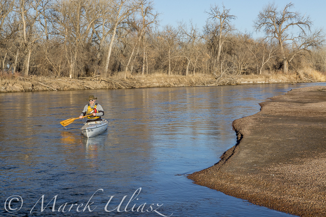
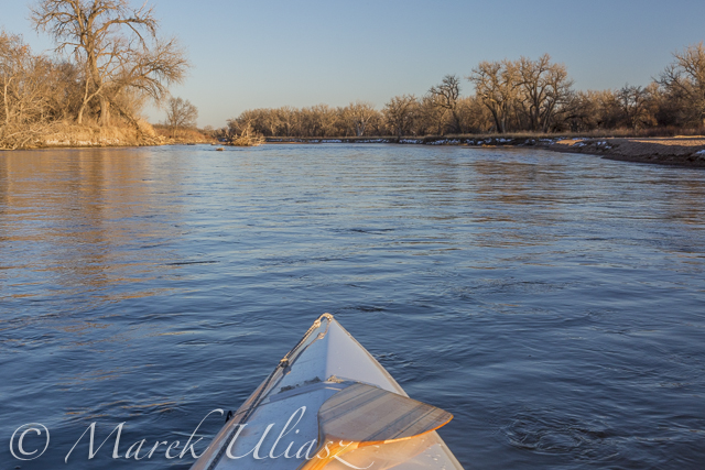
January 21, 2014. Finally, I started my paddling season for the year 2014. I took the Sea Wind canoe to Kersey and paddled upstream to the confluence with the Poudre River and back. It was my first paddling on the South Platte after last year flooding. There are a lot of signs of that flooding on shores, but the river remains the same – wide open without any new obstacles.

The river flow was ~950cfs at Kersey. There is a new station near Greeley – PLAGRECO. I don’t know its exact location yet, but it may be pretty useful for planning paddling trips since it shows the river flow not affected by subtraction and addition of water between Greeley and Kersey (2 diversion dams and the Poudre River).

I will be doing more training runs at different locations on the South Platte during winter time if anybody would like to join me. Most of the time I will paddle the Sea Wind canoe which is my first choice boat for this year Missouri River 340 race. I am hoping also for some downriver SUP runs. You can expect updates to my South Platte River guide.

south-platte-river-kersey-012114-3

paddling upstream the South Platte River above Kersey, Colorado

paddling South Platte River near Kersey, Colorado

Sea Wind canoe on the South Platte River

south-platte-river-kersey-012114-2

looking downstream the South Platte River

south-platte-river-kersey-012114-1

launching/landing spot on the downstream side of Kersey bridge

Related posts:
South Platte River below Denver – GPS/photo river guide
12th Annual South Platte River All Club Paddle
Opening 2013 Paddling Season with Badfish SUP on the South Platte River


paddling with a camera

 
Comments Off on Opening 2014 Paddling Season on the South Platte River

Posted in Photography


12th Annual South Platte River All Club Paddle

16 Apr

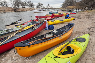
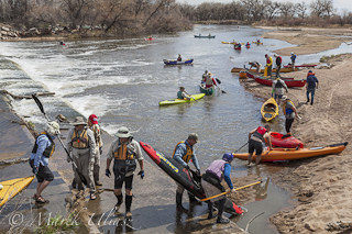
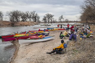
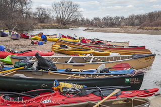
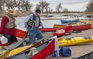
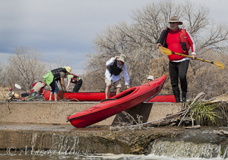
The annual spring kickoff paddling trip on the South Platte River took place this year with two weeks delay on April 6, 2013, due to a winter weather. Typically, this trip is organized on the third Saturday of March. It starts in Evans Riverside Park and goes 9 miles downriver to Kersey or 14 miles to Kuner wuth a lunch break at the second dam portage. Several Colorado paddling clubs participate (Rocky Mountain Canoe Club, Poudre Paddlers Club, Rocky Mountain Sea Kayak Club, High Country River Rafters, and Colorado White Water Association), but no membership is required to paddle.

Kayaks and canoes on South Platte River portaging kayaks and canoes over diversion dam on South Platte River
Kayaks and canoes on South Platte River Kayaks and canoes on South Platte River
lunch break on South Platte River portaging kayaks and canoes on South Platte River

We had a good weather this year with some signs of spring, but pretty low water, ~550 cfs at Kersey. I took the pictures above with my Canon 5D Mark II DSLR camera. They can be licensed for editorial use from my stock photography portfolio

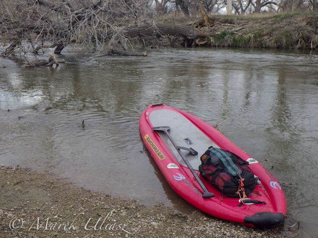
This year I paddled Badfish inflatable SUP in a longer version of this trip to Kuner. It was not a first time of this paddleboard on the South Platte since I started my SUP season in early February this year with upstream and downstream paddling at Kersey.

I had a nice paddling with some problems on several shallow spots. I paddled a couple of miles without the center 10″ fin, but tracking of Badfish was pretty bad. I will try a shorter fin in my next paddling.

Badfish SUP on South Platte River

Related posts:
Opening 2013 Paddling Season with Badfish SUP on the South Platte River
SUP on the South Platte River – Opening Winter Paddling Season
South Platte River below Denver, Colorado – GPS/photo river guide. Links to flow data.


paddling with a camera

 
Comments Off on 12th Annual South Platte River All Club Paddle

Posted in Photography