…
Where to paddle in Fort Collins in winter time when all ponds and lake are frozen? The South Platte River is usually the only open water in northern Colorado, but it is 30-40 miles of driving. However, it is possible to find short sections of our local Poudre River suitable for some paddling even if the river flow is almost nothing. One such a spot is about a quarter mile of the river above I-25 within Arapaho Bend Natural Area. You can access that section from the Strauss Cabin parking (the very east end of Horsetooth Road) through two small ponds. When these ponds are frozen the river access requires a pretty long walk (~0.5 mile).
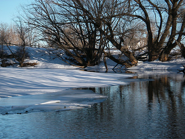
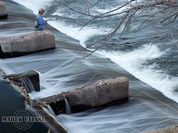
The picture above shot in January 2007 shows another opportunity – the river above the Timnath Reservoir Inlet Dam between Lemay and Timberline Streets. Finally, I found a comfortable access to this river section from the Nix Natural Area and did some scouting with Seda kayak.
function makeMap() {
var latlng = new google.maps.LatLng(40.57469157203234, -105.04852831363678)
var myOptions = {
zoom: 15,
center: latlng,
mapTypeControl: true,
mapTypeControlOptions: {style: google.maps.MapTypeControlStyle.DROPDOWN_MENU},
navigationControl: true,
navigationControlOptions: {style: google.maps.NavigationControlStyle.SMALL},
mapTypeId: google.maps.MapTypeId.SATELLITE
};
var map = new google.maps.Map(document.getElementById(‘SGM’), myOptions);
var contentString = ‘
For directions enter your address below
‘;
var infowindow = new google.maps.InfoWindow({
content: contentString
});
var marker = new google.maps.Marker({
position: latlng,
map: map,
title: ”
});
google.maps.event.addListener(marker, ‘click’, function() {
infowindow.open(map,marker);
});
}
window.onload = makeMap;
…
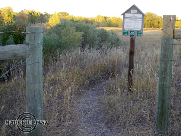
Here is the entry (fire lane gate) to Nix Natural Area from the Hoffman Mill Road (driving north on Lemay turn right just before the bridge into Poudre River Drive, and then follow Hoffman Mill Road until you pass a gravel quarry).
…
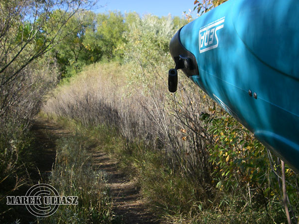
About 200 yards of gravel overgrown fire lane leads you to a bike trail and the river.
…
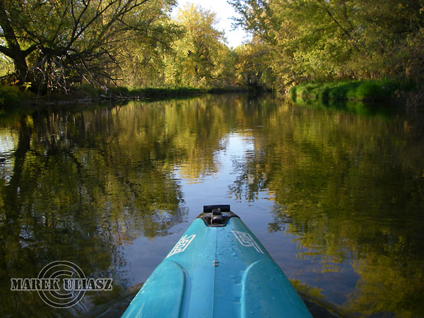
Then, you have about half a mile of the river with standing or slow moving water. A lovely scenery in fall colors. It may be also good for some winter paddling photography. You can paddle upstream almost to Lemay Street, but before the bridge you will encounter some shallows with a fast current. I did my paddling on October 14 with ~100 cfs of the river flow in Ft Collins. It was enough water to run through those shallow downstream. However, rocks were pretty slippery and water too cold too drag my kayak up the river.
…
A final shot of the dam from a high cliff on the right shore. I visit this place quite often riding a bike or inline skates on the Poudre Trail. Here is another image of the dam with more gold colors. And, just below the dam there is an old, rusty aqueduct
ch_client = “mmuliasz”;
ch_type = “mpu”;
ch_width = 550;
ch_height = 120;
ch_color_title = “3c78a7”;
ch_color_site_link = “3c78a7″;
ch_non_contextual = 4;
ch_vertical =”premium”;
ch_sid = “Chitika Premium”;
var ch_queries = new Array( );
var ch_selected=Math.floor((Math.random()*ch_queries.length));
if ( ch_selected < ch_queries.length ) { ch_query = ch_queries[ch_selected]; }
…
Related posts:
Paddling the Cache la Poudre River in Fort Collins – maps and mileage
Old Aqueduct over the Cache la Poudre River
Solo paddler, solo photographer – February 2005
Cache la Poudre in Winter by Racing Canoe – December 2006
You must be logged in to post a comment.