Horsetooth Reservoir is 6 miles long, but I wonder how long would be a lap around the entire lake following closely the shore. 25+ miles? There is only one way to check it out. So far this year, I haven’t paddled more than 10 miles, always in Sea Wind canoe.
There are several access spots to launch your kayak, canoe or SUP:
1. South Bay – boat ramp
2. Inlet Bay – boat ramp
3. Satanka Bay – boat ramp
4. Sunrise Area from the Centennial Road (closed during winter).
5. North Eltuck Cove from the Lory State Park (trail access up to 0.25 mile at a low water)
I am avoiding boat ramps during power boat season. Off season, I am often using one of the South Bay boat ramps. It’s possible to park on a beach close to water there. Right now, boat ramps are very short and a regular parking is really close to water. I use Sunrise Area next to swimming “beach” mostly during summer. The shore there is quite rocky and not protected from waves and boat wakes. Access point 1-4 require Larimer County Parks pass and 5 – Colorado State Park pass for your car. I used to carry my light Thunderbolt kayak from the Lory State park or tow Sea Wind on snow.
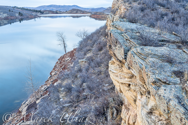
February 5, 2015: Winter dusk over Eltuck Cove looking towards Horsetooth Dam. CameraL Canon 5D M3.
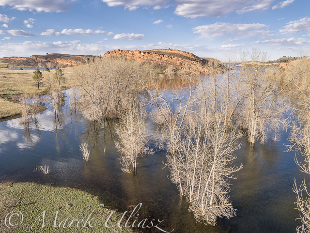
March 30, 2015: Aerial view of the South Eltuck Cove. Camera: Panasonic Lumix GM1 on F550 Flaming Wheel drone.

April 27, 2015: Paddling north along the west coast between South Bay and Dixon Cove. Camera: Sony A6000 with 16-50mm lens.
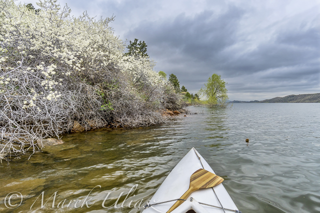
May 1, 2015: Wild plums blooming. Camera: Sony A6000 with 16-50mm lens.
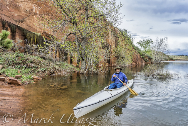
May 6, 2015: Old sandstone quarry in Satanka Bay. Camera: Sony A6000 with 10-18mm lens.
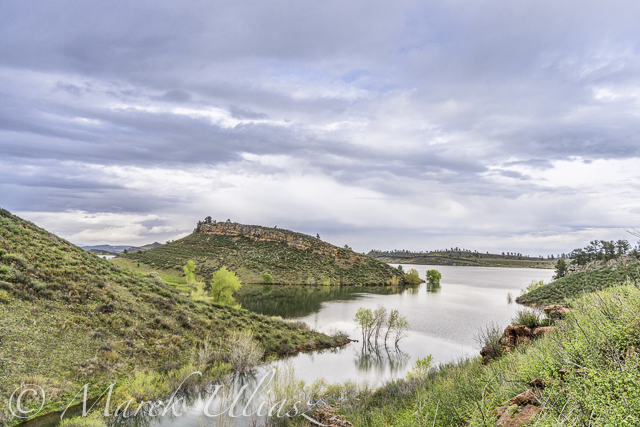
May 6, 2015: Orchard Cove from the top of old road. Camera: Sony A6000 with 10-18mm lens.
Horsetooth REservoir map
Winter Season Paddling on Horsetooth Reservoir with Sea Wind Canoe
Early Morning Paddling on the Horsetooth Reservoir
Fisheye Lens Perspective for Paddling?